

ArcGIS Online
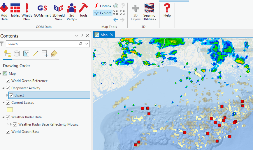
The ability to access ArcGIS Online services has been available for over a year, but the next phase of connecting GOM3 feature services through ArcGIS Pro will be ramping up through the end of the year. If you're not familiar with these connections, the most frequently updated datasets (such as wells, leases, fields, etc.) are served through ArcGIS Online and available to either load directly into ArcGIS Pro or update your internal ArcGIS Enterprise. This has two primary advantages. First, it means that the data in ArcGIS Pro maps will always be as current as possible, which is important now that BOEM/BSEE update data so frequently. Second, personnel that need to handle the ArcGIS updates twice per month will have far more free time on updating the systems, mostly limited to changes to the GOM3 add-in or support files for the add-in.
The last step is to modify the layer files used in Global Loader as well as a collection of scripts you can use to update ArcGIS projects (*.aprx) to point to the new online services. So with that in mind, please contact us to ensure that you will be connected and ready for such a change (or we will reach out to you regarding those connections). Contact us at contactesa@earthsci.com so we can work with you on those connections.
Snowflake and Databricks
Along the same lines, many requests have been made to allow direct database connections to the many database tables that make up GOM3. Building connections through Snowflake and Databricks has allowed us to provide direct connections to the latest tabular information in over 60 tables. These tables can be used directly in your applications or to update your internal databases.
These options are meant to streamline your processes and get data to the applications you need as seamlessly as possible. Contact us at contactesa@earthsci.com to set up the connections for your company.
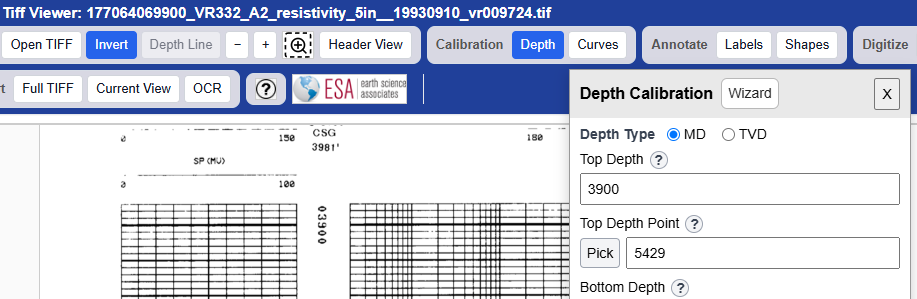
A small update to the Smart Tiff Viewer for image well logs is an addition to handle TVD logs (beyond just MD logs). When calibrating the depth of the log, an option is available to set the depths in MD or TVD, which means that loading completion and paleo locations will automatically be set in the same datum. Loading external LAS data will have a message to ensure that the LAS file matches the current calibration.