

The amount of functionality and supported data formats in 3D GIS has expanded greatly in ArcGIS Pro. For example, this video gives an overview of working with 3D seismic data within a scene, integrating voxels with vector data such as wells, completions and sand-body reservoirs. GOM3 has had data and tools to work in three dimensions for over twenty years and working within ArcGIS Pro has increased what is possible. To that end, a new webinar will show a brief overview of some of the newest features and tips in 3D GIS, including improved spatial analysis, editing/data creation, GOM3 tools and the latest addition to the Geophysical Addon: 3D seismic data.
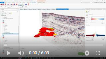
Click to view 3D Seismic Overview video.
The 3D GIS webinar will be held Wednesday, September 28th at 2:00 PM CDT. Registration is now available here.
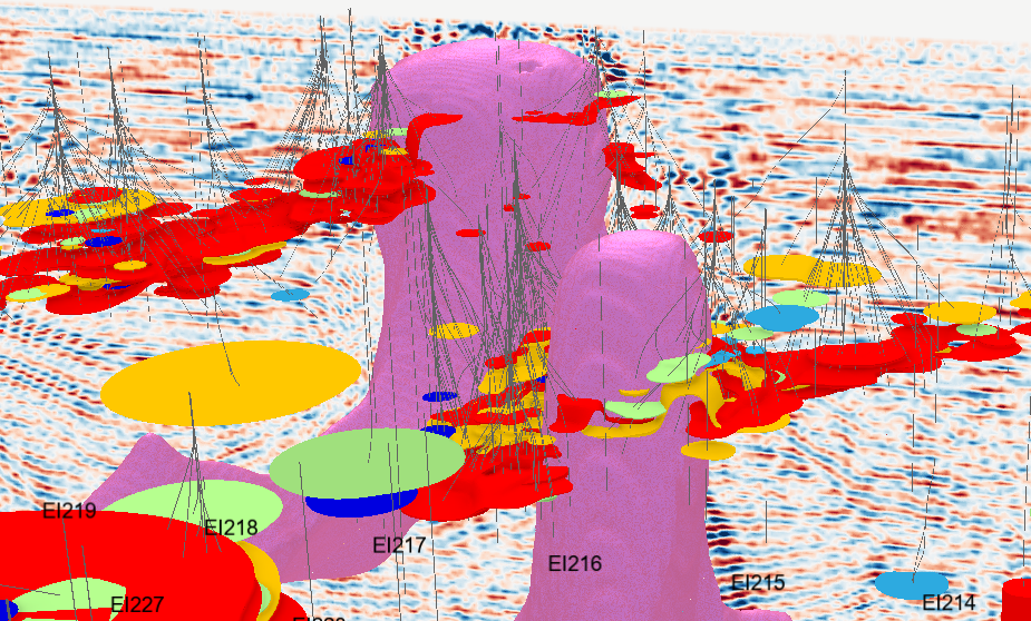
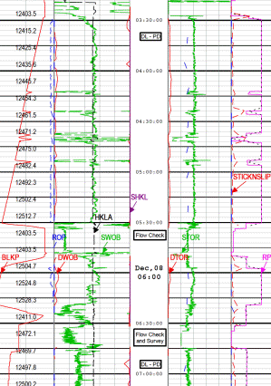
Salt (in pink) extracted from velocity SEG-Y data within Eugene Island. Sands are colored by Estimated Ultimate Recovery (Cumulative Production + Remaining Reserves).
For those interested in a very quick way to access loads of GOM information with nothing more than a web browser (even a smartphone's browser), the next GOMsmart webinar will be held Thursday, September 29th at 1:00 PM CDT. This webinar will go over how the data is put together and processed and is a good way to check out parts of GOMsmart that you may not be currently using. It will also provide a chance to ask questions and offer suggestions. Registration is now available here. Feel free to pass this along to colleagues in your office who may be new to GOMsmart.
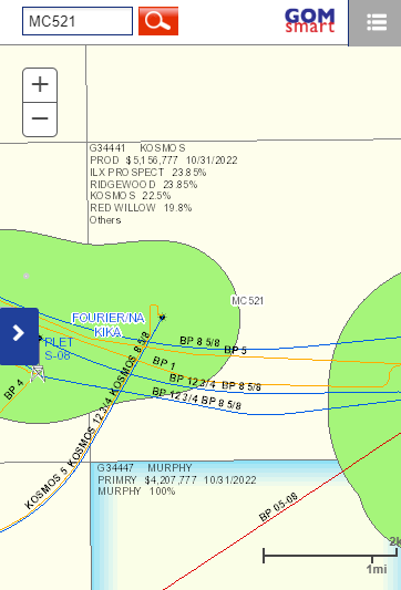
The GOMsmart map displayed on a phone.
Well Log downloaded from GOMsmart.